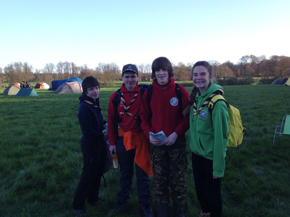
Doncatraz Lifers
Endeavour ESU (South Yorkshire)
| Start time |
End time |
Duration |
Distance |
Average speed |
| 18:43:25 |
00:46:39 |
06:03:14 |
5 km |
0.8 km/h |
| Control |
Description |
Time |
Points |
| 03 |
Log over stream |
19:01:55 |
10 |
| 06 |
Up tree |
19:09:41 |
5 |
| D |
Cave On The Go (Double gates) |
19:22:11 |
50 |
| B |
Dark Water (Lake) |
19:52:18 |
50 |
| 04 |
Below rocky outcrop |
20:01:09 |
10 |
| 08 |
Stream bend |
20:04:42 |
25 |
| 12 |
Wooden fence corner |
20:24:19 |
5 |
| F |
On Target (Field corner) |
20:26:23 |
50 |
| 17 |
Dip in ground |
20:39:38 |
10 |
| J |
Popstars (Disused water tower) |
20:44:26 |
50 |
| 21 |
Pond, south side |
20:50:43 |
15 |
| 20 |
Largest tree |
21:07:04 |
15 |
| G |
Supersledge (Grassy slope) |
21:11:00 |
50 |
| 16 |
Tree |
21:30:33 |
10 |
| K |
Commercial Break (Roundhouse) |
21:49:55 |
50 |
| 27 |
Watery hole in the wall |
21:56:16 |
20 |
| P |
Temple Of Doom (Mysterious temple) |
22:56:24 |
50 |
| 23 |
Obelisk, west side |
23:05:35 |
15 |
| N |
Flag Pipes (Track over stream) |
23:40:56 |
50 |
| 11 |
Exposed tree roots |
00:03:26 |
20 |
| 09 |
Fallen trees |
00:12:21 |
15 |
| C |
On The Ropes (Old quarry) |
00:37:22 |
50 |
| SUB-TOTAL |
625 |
| SUPER SCORE POINTS |
0 |
| TIME PENALTIES DEDUCTED |
16 |
| TOTAL |
609 |
Route map
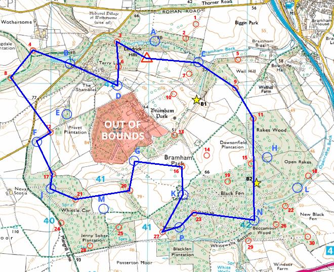
Map reproduced from Ordnance Survey mapping with their permission, on behalf of the controller of Her Majesty's Stationery Office.
Back to main results table