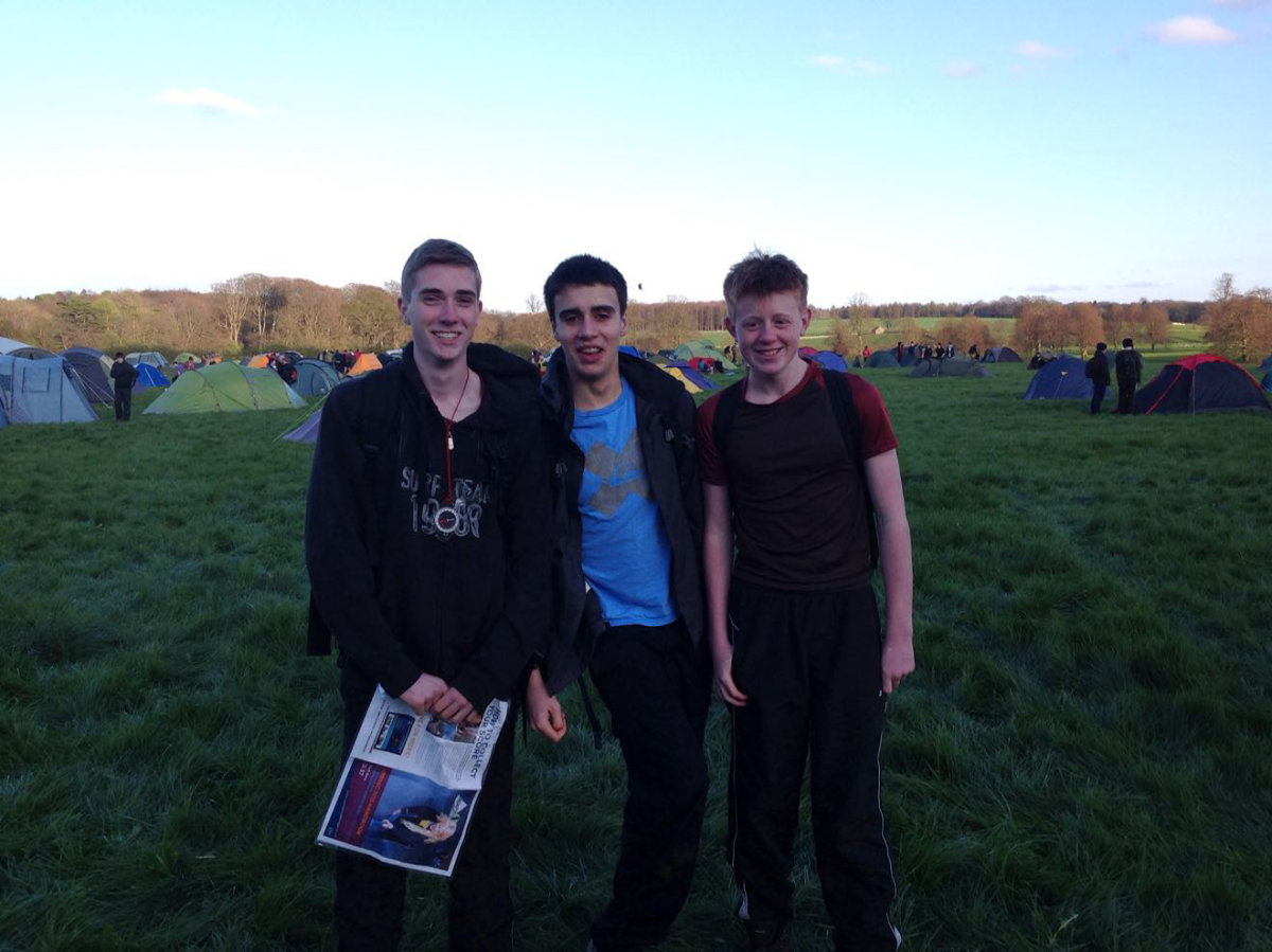
Yay! Honey Badgers
Honey Badger Explorer Unit (Central Yorkshire)
| Start time |
End time |
Duration |
Distance |
Average speed |
| 18:56:03 |
00:48:32 |
05:52:29 |
7 km |
1.1 km/h |
| Control |
Description |
Time |
Points |
| 06 |
Up tree |
19:02:37 |
5 |
| D |
Cave On The Go (Double gates) |
19:09:54 |
50 |
| B |
Dark Water (Lake) |
19:34:05 |
50 |
| 04 |
Below rocky outcrop |
19:41:49 |
10 |
| 08 |
Stream bend |
19:45:51 |
25 |
| 13 |
Under bridge |
20:08:23 |
10 |
| B1 |
Bonus control 1 |
20:14:45 |
0 |
| A |
Chickin Lickin' (Most easterly pond) |
20:30:17 |
50 |
| C |
On The Ropes (Old quarry) |
20:58:15 |
50 |
| 09 |
Fallen trees |
21:12:58 |
15 |
| 11 |
Exposed tree roots |
21:23:45 |
20 |
| H |
Bullseye! (Woodland track) |
21:35:00 |
50 |
| 15 |
Ruined building |
21:41:43 |
15 |
| B2 |
Bonus control 2 |
21:45:25 |
0 |
| N |
Flag Pipes (Track over stream) |
22:08:52 |
50 |
| L |
Keeping a Log (Track over stream) |
22:32:56 |
50 |
| 22 |
Brick foundations |
22:40:56 |
25 |
| 30 |
Under pylon, east side |
22:49:08 |
30 |
| 26 |
Brick foundations |
22:56:53 |
30 |
| 29 |
Under pylon, south side |
23:03:09 |
25 |
| 23 |
Obelisk, west side |
23:12:19 |
15 |
| K |
Commercial Break (Roundhouse) |
23:29:10 |
50 |
| 16 |
Tree |
23:37:15 |
10 |
| G |
Supersledge (Grassy slope) |
23:51:23 |
50 |
| 20 |
Largest tree |
00:04:07 |
15 |
| M |
UXB (Edge of field) |
00:23:07 |
50 |
| SUB-TOTAL |
750 |
| SUPER SCORE POINTS |
200 |
| TIME PENALTIES DEDUCTED |
0 |
| TOTAL |
950 |
Route map
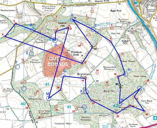
Map reproduced from Ordnance Survey mapping with their permission, on behalf of the controller of Her Majesty's Stationery Office.
Back to main results table